Home · Sights · The Grand Canal
What you are looking atI
The Grand Canal
San Marco · San Polo · Dorsoduro
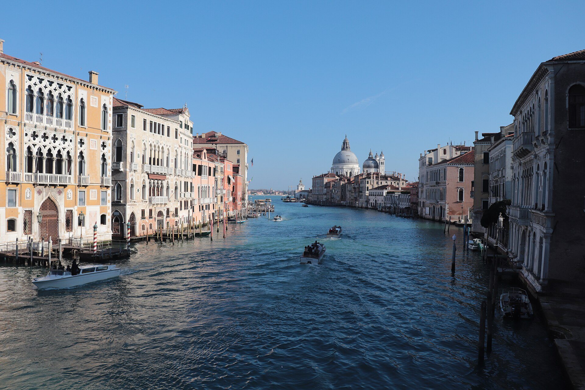
- 1The reverse SOne great double curve from the railway station to the basin of San Marco, through the central sestieri.
- 2The palacesMore than 170 buildings from the thirteenth to the eighteenth centuries, most rising straight from the water.
- 3The four bridgesThe Rialto, the Accademia, the Scalzi and Calatrava's Costituzione by the station.
- 4The Rialto bendThe oldest part of the city, with the market, the bridge and the old merchant houses.
- 5The traghettiGondola ferries that still cross the canal standing up at a few points.
- 6The SaluteLonghena's domed church at the mouth, where the canal opens onto the basin.
The sight in fullII
Reading the place
Why it matters
The Grand Canal, the Canal Grande, which Venetians also call the Canalazzo, is the largest channel in the city and its main road. One end opens into the lagoon near Santa Lucia railway station; the other flows into the basin of San Marco; between them it bends in a great reverse S through the central sestieri. It is nearly four kilometers long, about two and a half miles, between thirty and ninety meters wide, and about five meters deep on average.
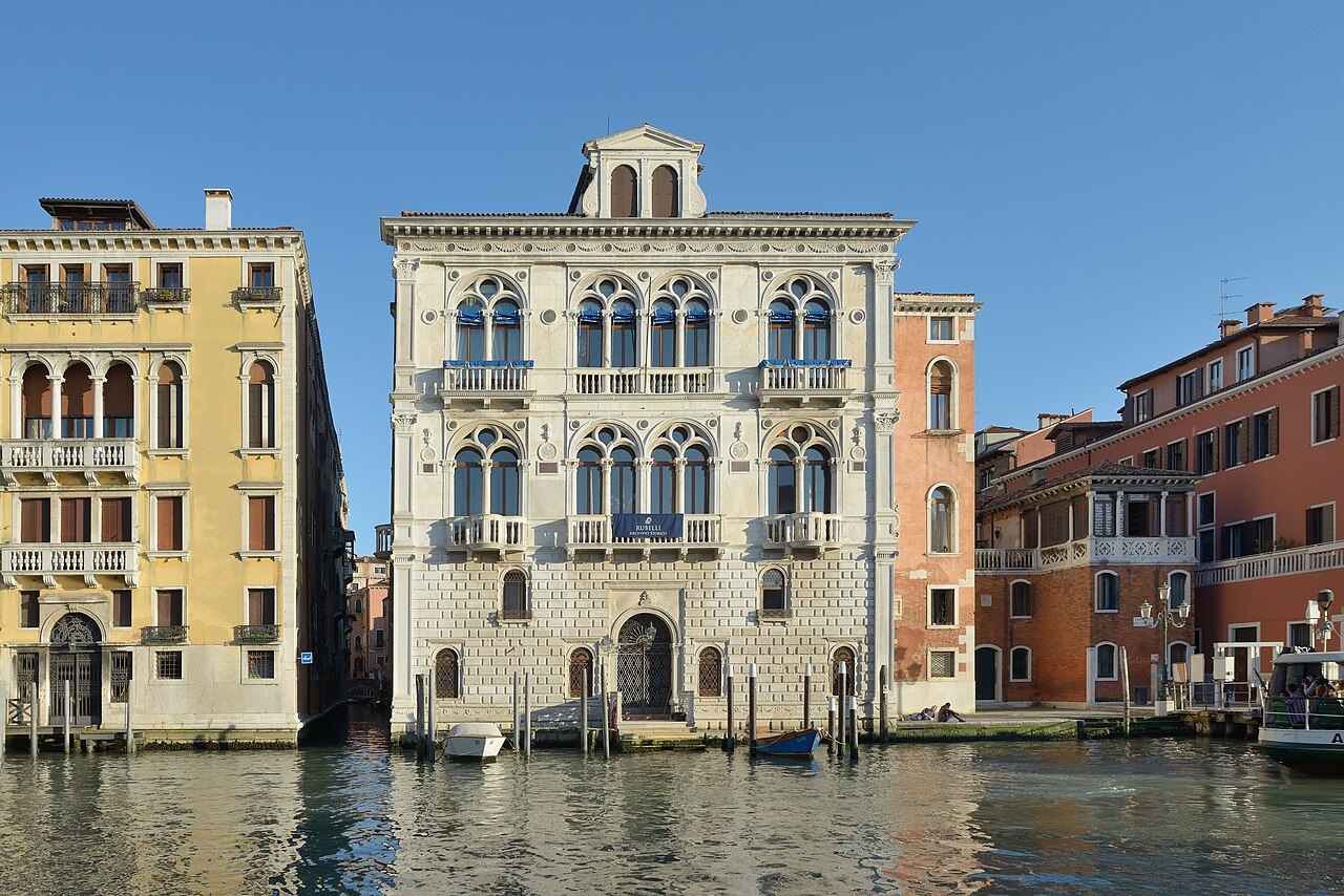
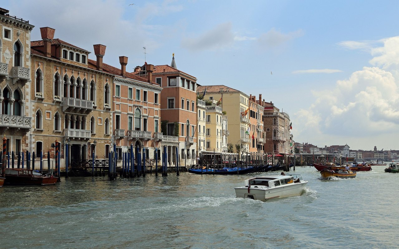
Along its banks stand more than 170 buildings, most of them built between the thirteenth and the eighteenth centuries by the families who ran the Republic, each trying to outdo the last. Because most of them rise straight out of the water with no pavement in front, the canal is a street of facades you can only see properly from a boat. That makes a ride down it the single best introduction to Venice.
How it came to be
The canal probably follows the course of an ancient river, perhaps a branch of one of the mainland rivers, that once ran into the lagoon. People lived beside it before the Romans, in houses on stilts, fishing and trading in salt. In the early ninth century the doge moved his seat from Malamocco on the Lido to the safer islands of Rivoaltus, the Rialto, and trade followed him to the deep channel that made a natural harbor. The canal was wider then, running between small tidal islands joined by wooden bridges, and the city grew more compact around it over time.
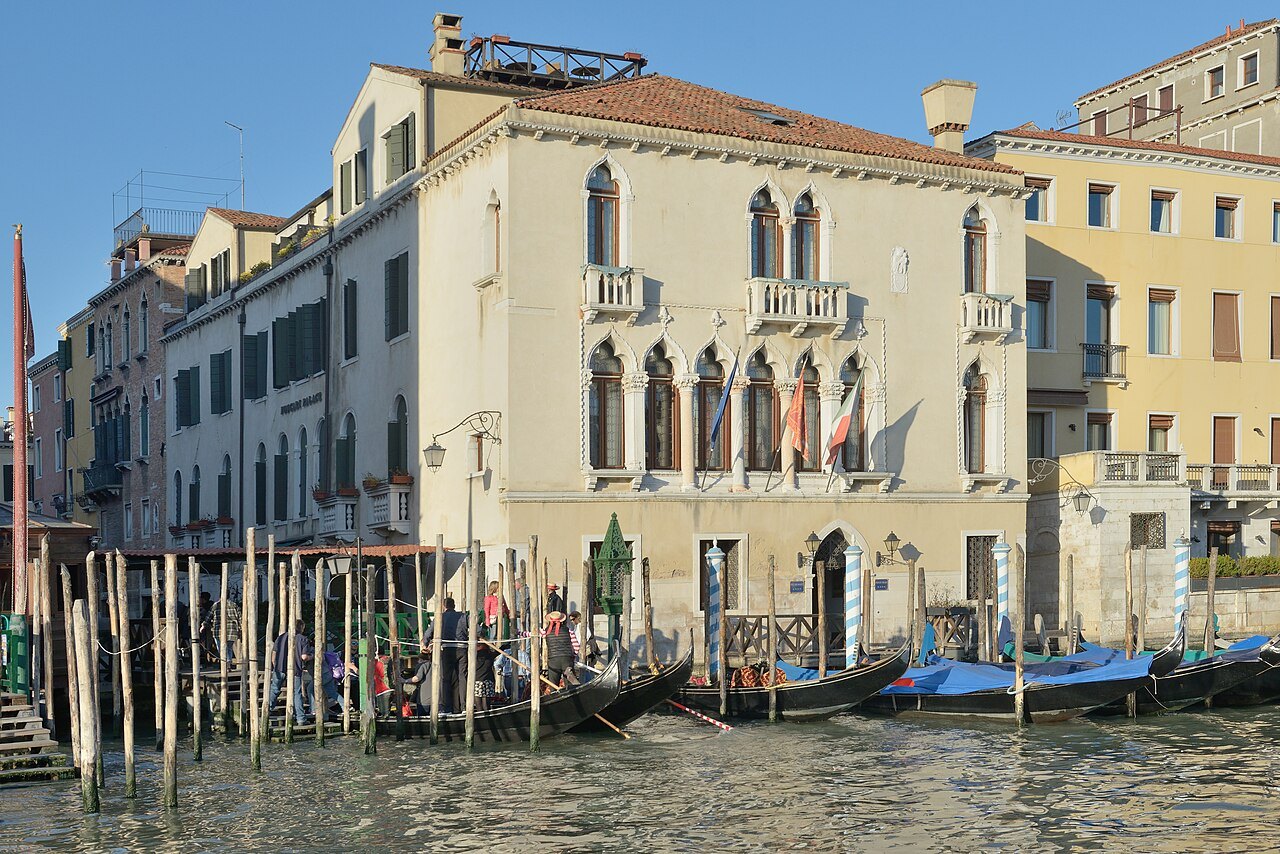
Merchants built the first great houses along it as fondaco houses, combining warehouse and home: a portico at water level for unloading boats, storerooms behind, a loggia above lighting the hall where the family lived. The Republic gave foreign merchants their own, and two survive on the canal, the Fondaco dei Turchi for the Ottoman traders and the Fondaco dei Tedeschi for the Germans.
Reading the palaces
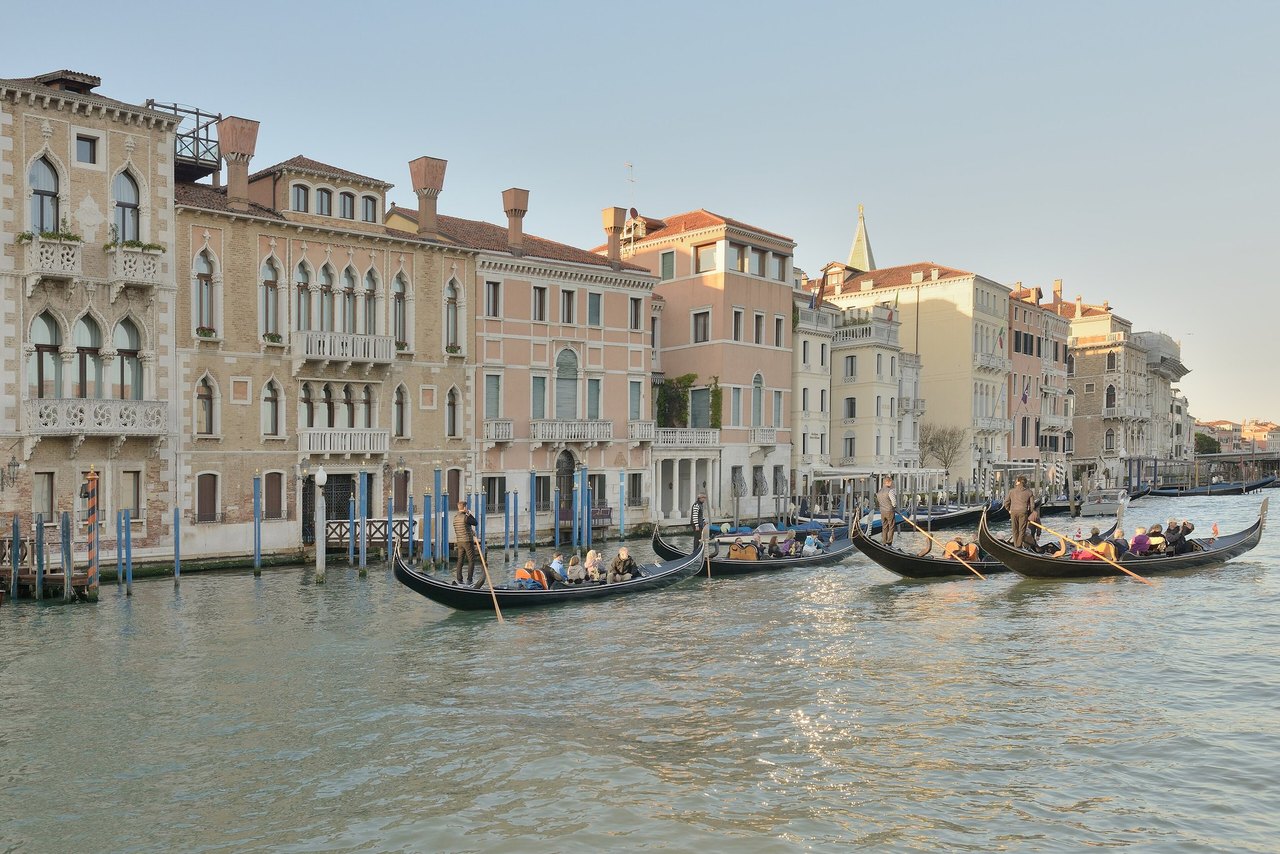
You can read six centuries of Venetian building from the water. The oldest palaces, Ca' Farsetti, Ca' Loredan and Ca' da Mosto near the Rialto, are Venetian-Byzantine, with wide loggias of round or narrow arches and panels of colored marble, much of it arriving from the East, especially after the sack of Constantinople in 1204.
Then come the Gothic palaces of the fifteenth century, with pointed and lobed arches and tracery like stone lace: the Ca' d'Oro, Palazzo Bernardo, Ca' Foscari, now the university, Palazzo Pisani Moretta and the Palazzi Barbaro. Renaissance facades follow: Mauro Codussi's Palazzo Corner Spinelli and Ca' Vendramin Calergi, then Sansovino's Palazzo Corner and Palazzo Dolfin Manin with their long white fronts.
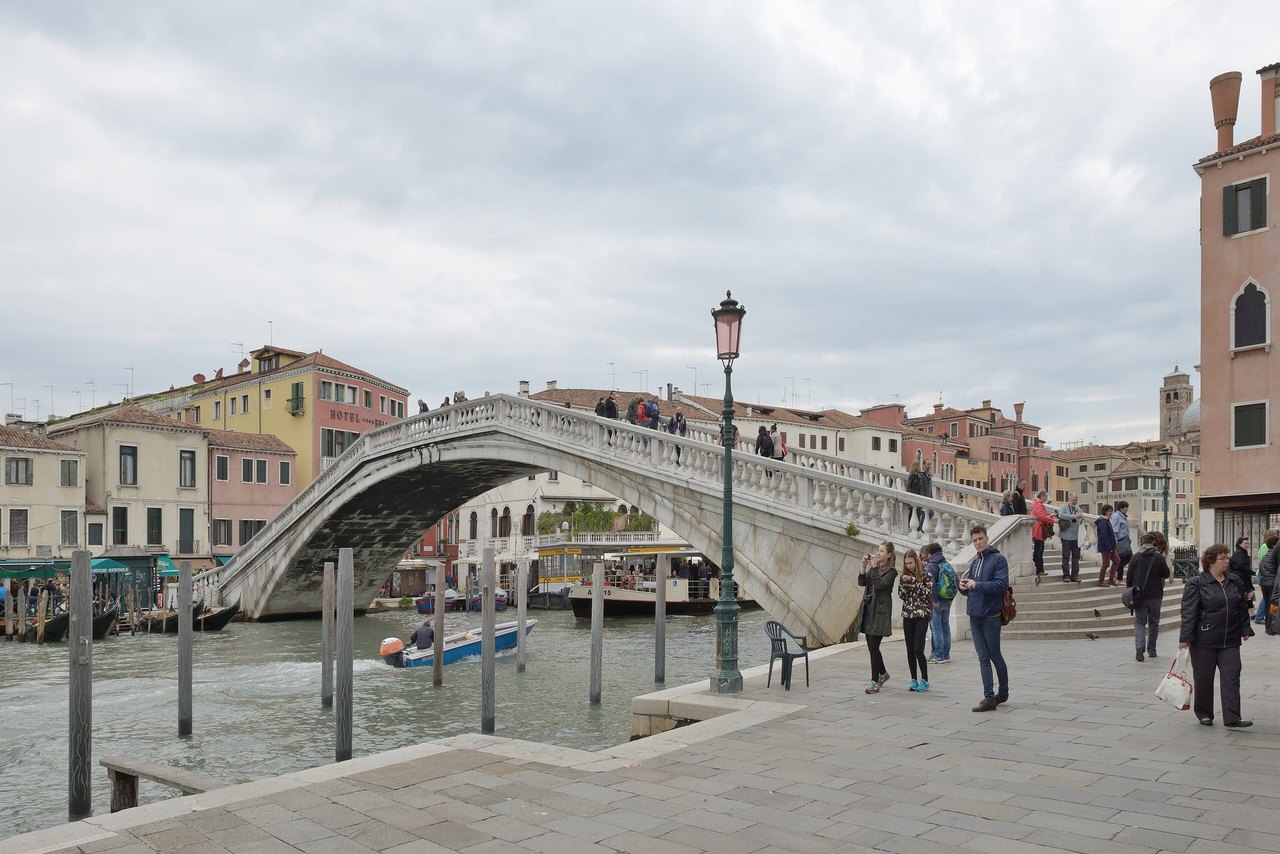
Baroque closes the story. Baldassarre Longhena began Santa Maria della Salute in 1631 at the canal's mouth and designed Ca' Pesaro and Ca' Rezzonico, both finished after his death. The sixteenth and seventeenth centuries, when the Republic was already declining, saw the most building of all, as newly ennobled families bought their status and then built palaces to show it.
The four bridges
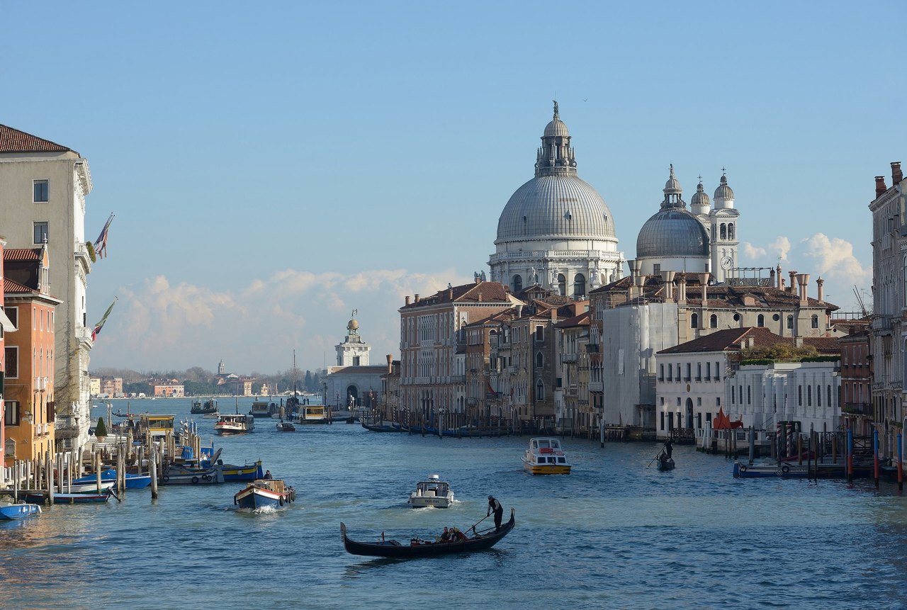
Most of the city's traffic runs along the canal rather than across it, and for centuries there was only one crossing, the Rialto Bridge. Three more have been added since: the Ponte dell'Accademia near the galleries, the Ponte degli Scalzi by the station, and in 2008 the Ponte della Costituzione by Santiago Calatrava, linking the station to Piazzale Roma, one of the few places a car or bus can reach.
Between the bridges you can still cross the old way, on a traghetto, a plain gondola rowed back and forth across the canal by two oarsmen while you stand. There are fewer of these crossings than a decade ago, but a handful still work (see getting around).
How to see it
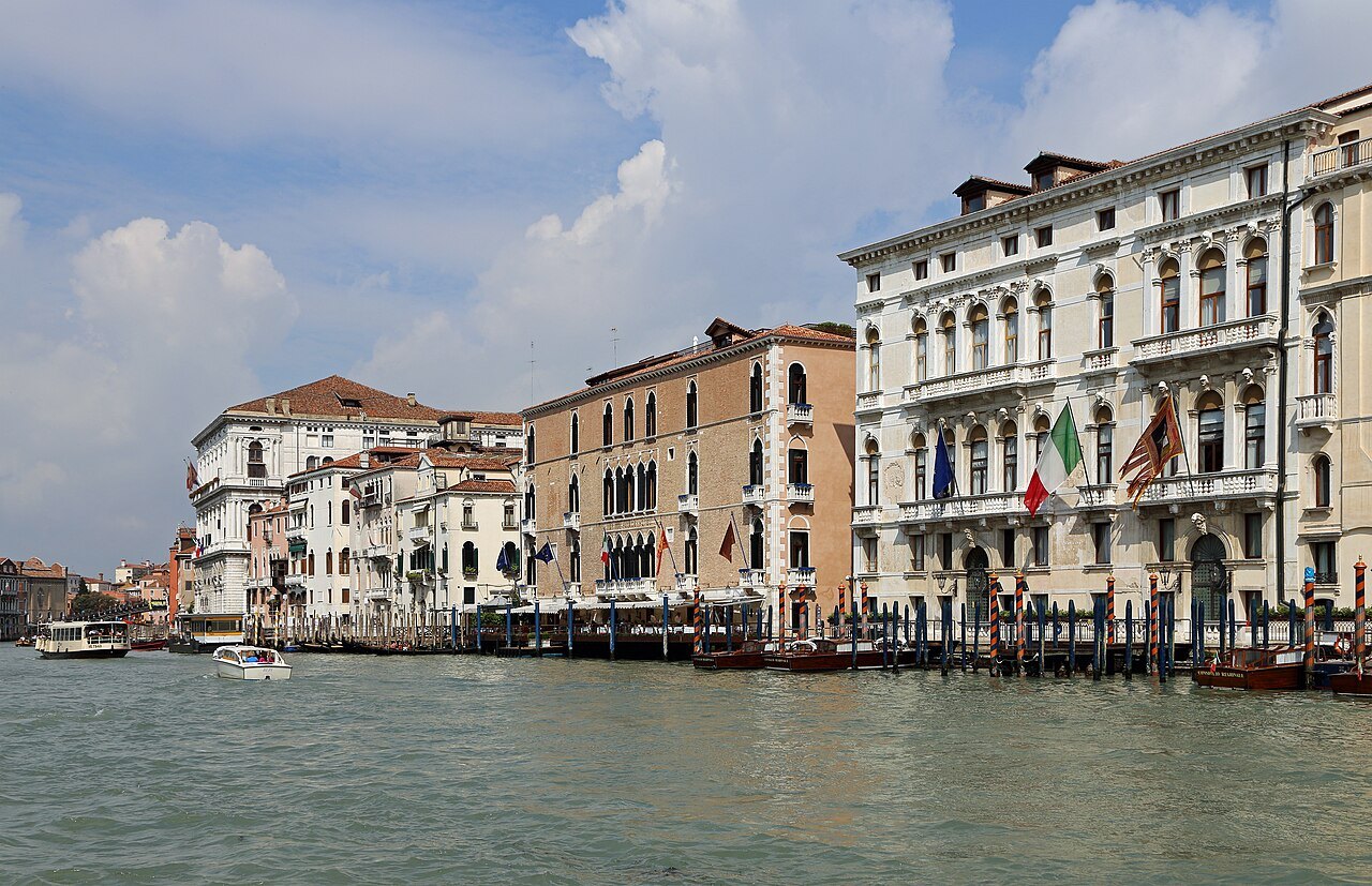
Take the water bus. Line 1 runs the length of the canal from Piazzale Roma to San Marco and on to the Lido, stopping at every landing, and takes up to about three quarters of an hour from the station to the Piazza; it is the slow boat, and for sightseeing that is its virtue. Line 2 is faster and skips stops. Sit or stand at the front or the back of a Line 1 boat for the open view, go once in each direction, and ride it again at dusk.
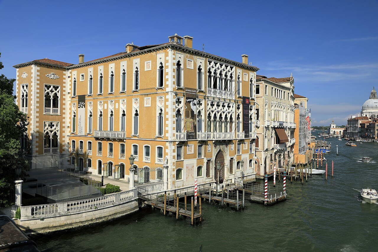
A gondola sees the canal lower and slower, and a water taxi is the private version of the water bus; both are costly, and their fares are set by the operators, not by this guide. From land the best views are from the four bridges: the Accademia looks toward the Salute and the basin, and the Rialto looks both ways along the busiest stretch.
Pieces of the canal are walkable. The Riva del Vin and the Riva del Ferro run beside the Rialto, and there are short quays at the Salute and near the station, but there is no continuous path along either bank, which is why the traghetti and the water buses still carry so much of the city's everyday traffic.
Honest notes
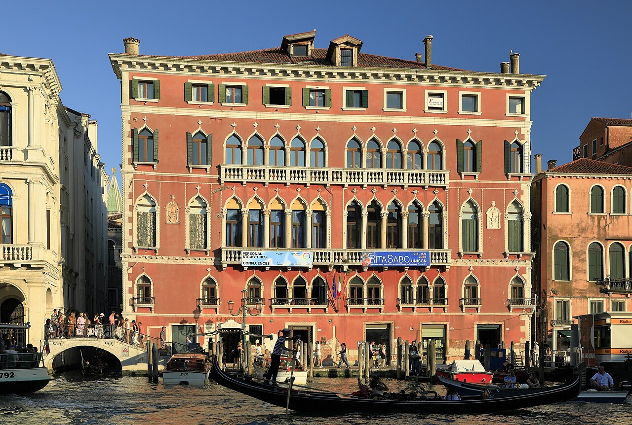
The palaces you see are mostly private homes, offices, hotels and institutions, and only a few can be visited: the Ca' d'Oro and Ca' Rezzonico as museums, the Peggy Guggenheim Collection in the unfinished Palazzo Venier dei Leoni. The canal's traditions carry on in the Regata Storica, the historic regatta rowed along it every year, which is covered with the rest of the calendar under when to come.
Where to go nextIII
Nearby
- Nearby · San Marco · San PoloThe Rialto BridgeFor two and a half centuries the only way to walk across the Grand Canal: a single stone arch of 1591, carrying two ramps of shops to a portico at the top, at the heart of the city's oldest quarter.Read the page →
- Nearby · CannaregioThe Ca' d'OroThe House of Gold on the Grand Canal, the best-surviving Gothic palace in Venice, built for Marino Contarini between 1421 and 1437, gilded once, stripped by later owners, and saved by Baron Franchetti as a gallery.Read the page →
- Nearby · DorsoduroSanta Maria della SaluteThe votive church the Republic promised the Virgin in 1630, when plague had killed nearly a third of the city: Longhena's great white octagon on a million wooden piles, where the Grand Canal meets the basin.Read the page →