Home · The Lagoon
Out on the waterI
Ten islands of the lagoon
- MuranoA short water-bus ride from the north shoreSeven islands of glassmakers, with working furnaces, the Glass Museum and a Byzantine basilica.
- BuranoAbout three quarters of an hour by water busThe fishing village of painted houses and lace, with a leaning bell tower.
- TorcelloA short shuttle from BuranoThe mother island, almost empty now, with the oldest cathedral in the lagoon and its mosaics.
- MazzorboA footbridge from BuranoA quiet island of vineyards and orchards, with a fourteenth-century church and a colorful housing quarter of the 1980s.
- San MicheleThe first stop from the north shore toward MuranoThe city's cemetery island since 1807, with the first Renaissance church in Venice.
- San Giorgio MaggioreOne stop across the basinPalladio's church and its bell tower, facing the Piazzetta.
- The LidoWater buses from San Marco and the cityThe barrier island on the open sea: beaches, grand hotels, roads and the film festival.
- Sant'ErasmoA water-bus line from the north shore by way of Murano and VignoleThe market-garden island, flat and green, with a nineteenth-century tower.
- San Lazzaro degli ArmeniTwo kilometers southeast of the city, toward the LidoAn Armenian monastery island since 1717, a center of Armenian learning that Byron visited.
- PellestrinaBy way of the LidoThe long, thin barrier island south of the Lido, with fishing villages of painted houses.
In fullII
The Lagoon
A bay that is mostly not water
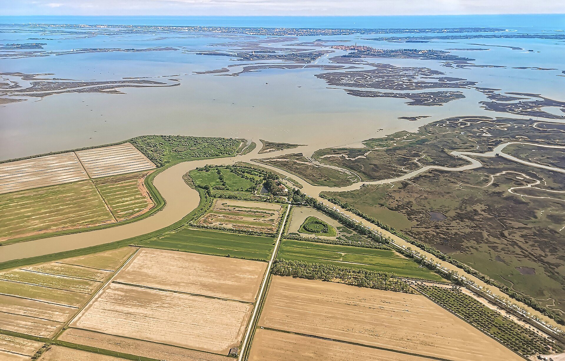
The Venetian Lagoon is an enclosed bay of the Adriatic, stretching from the River Sile in the north to the Brenta in the south, and it is the largest wetland in the Mediterranean. Its name, from the Latin for a lake, gave English its word for any shallow, enclosed bay of salt water. Only about eight percent of it is land, Venice and its smaller islands included, and only about eleven percent is permanently open water, the dredged channels. The rest, about eighty percent, is mud flats, tidal shallows and salt marsh, the barene, covered and uncovered by the tides.
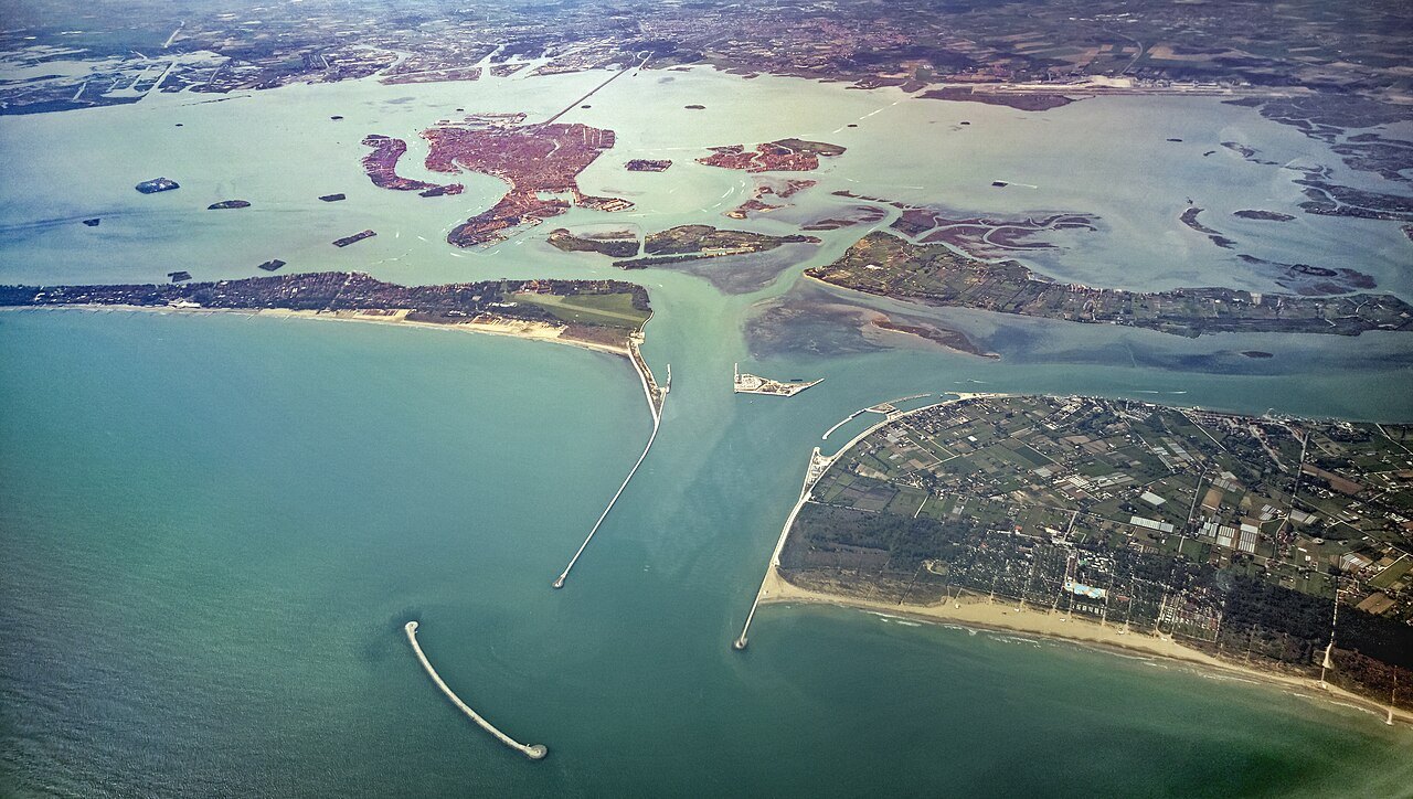
Three inlets connect it with the sea, at the Lido, Malamocco and Chioggia, between the long barrier islands of the Lido and Pellestrina and the peninsulas at either end. Because the lagoon lies at the head of an almost closed sea, its tides are large for the Mediterranean, and the highest of them, the acqua alta, flood the lowest parts of the city (see when to come).
The first refuge
The lagoon formed some six or seven thousand years ago, when the sea rose after the Ice Age and flooded the coastal plain, and river silt and sandbars shaped the shallows. It is the most important survivor of a chain of lagoons that in Roman times ran from Ravenna to Trieste. In the fifth and sixth centuries it gave safety to people fleeing the Huns and then the Lombards on the mainland, and they settled first on islands such as Torcello before the city of Venice grew up in the middle of the bay.
The lagoon Venice looks out on is a human landscape. Left to itself, a lagoon fills with river silt and turns to marsh, as the northern part did around Torcello. In the fifteenth and sixteenth centuries the Republic diverted the rivers that flowed into it and carried out hydraulic works to stop the rest going the same way, reversing its natural evolution. Many of the small islands are entirely artificial, and the islands of the coastal strip are essentially dunes.
The channels and their posts
From the water bus you will see the lagoon's roads: lines of wooden posts, often three or more lashed together, standing in the water on either side of the channels. They are called bricole, and they mark the edge of the deep water that boats can use, so that no one runs aground on the shallows beside it. A group of five posts around a taller central one, called a dama, marks the start of a channel. Single poles, the paline, are for mooring.
The channels carry everything the lagoon still does: the city's water buses, the barges of goods, fishing boats, and in the south the ships heading for the port of Marghera through the deep Malamocco inlet. Fishing, fish farming and some hunting still go on in the lagoon's quieter parts.
The northern lagoon
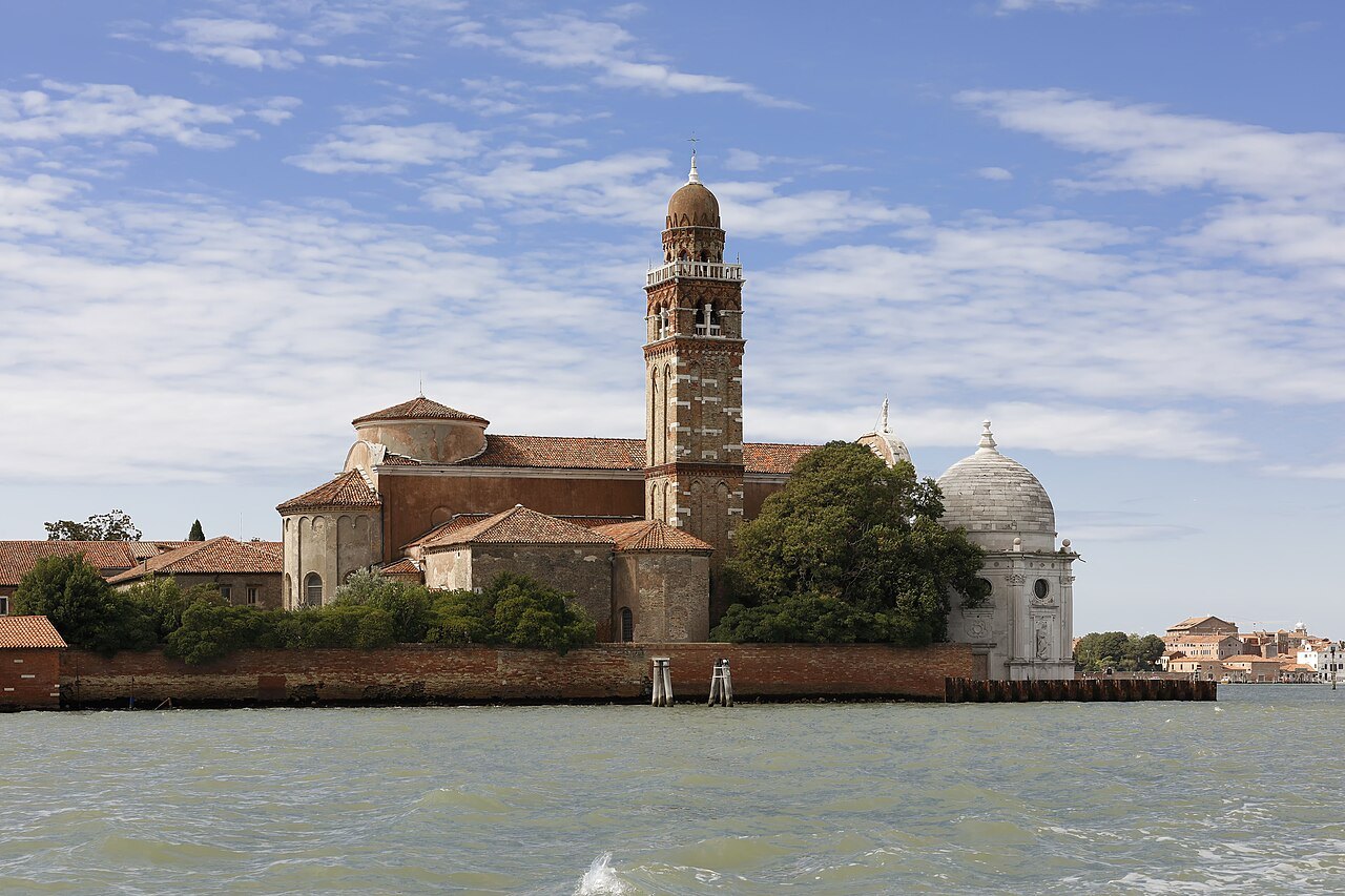
The most visited islands lie in the northern lagoon, beyond the cemetery island of San Michele, where the city has buried its dead since 1807 and where Mauro Codussi's church of San Michele in Isola, of 1469, was the first Renaissance church in Venice; the poet Ezra Pound is buried here. Beyond it are Murano, the glass island, and farther out Burano, with its painted houses, and Torcello. A full day covers the three, taking the water bus from the north shore of Cannaregio and Castello (see itineraries).
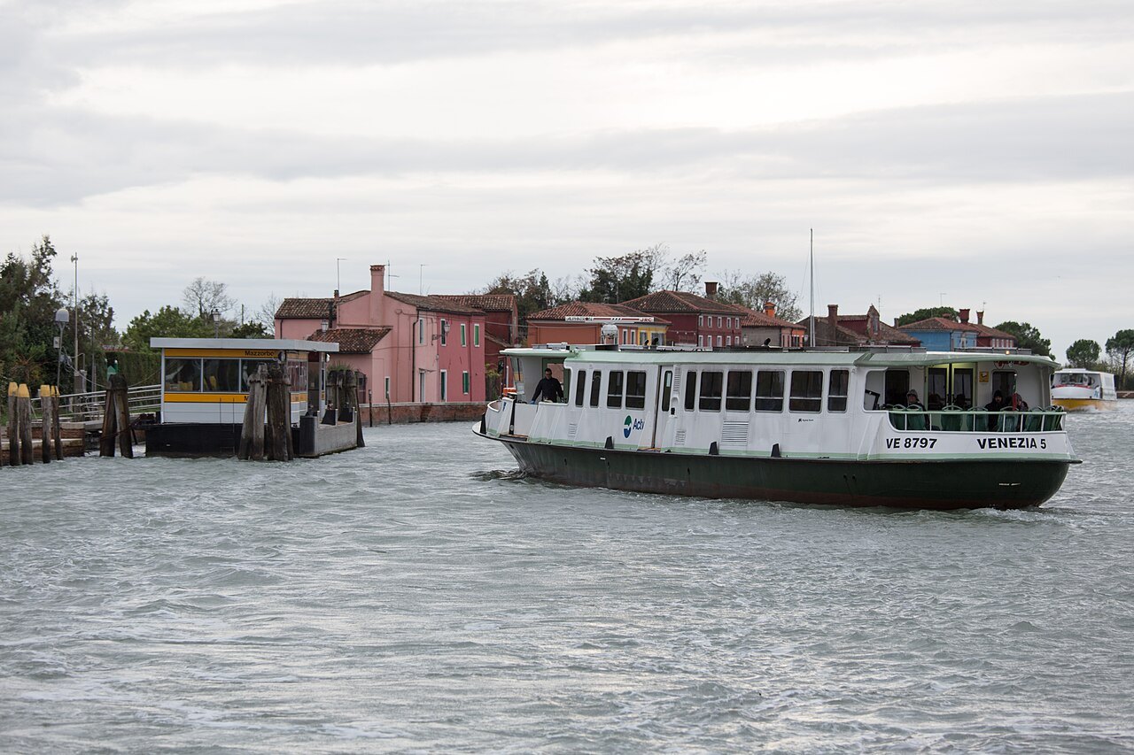
Mazzorbo, joined to Burano by a wooden bridge, was once an important trading center and is now known for its vineyards and orchards, its fourteenth-century church of Santa Caterina, and a brightly colored housing quarter built in the 1980s by the architect Giancarlo De Carlo to bring people back to it. Sant'Erasmo, once a port attached to Murano, is now the lagoon's market garden, flat and green, with a round fortress tower built for the Austrian Archduke Maximilian in the 1840s and a small beach popular with Venetians in summer. Its neighbor Vignole is farmland too.
The Lido and Pellestrina
The Lido is the barrier island between the lagoon and the Adriatic, some eleven kilometers long, and a different world from the city: it has roads, cars and buses, and at least half its seaward shore is sandy beach, much of it belonging to hotels, with large public beaches toward its ends. It became famous for its grand hotels, the Grand Hotel des Bains and the Excelsior among them, and the Venice Film Festival is held here in late summer. Byron rode his horses along its shore when he lived in Venice.
South of the Lido, across the Malamocco inlet, the long, thin island of Pellestrina has been protected on its seaward side since the eighteenth century by great embankments. Its four villages, of painted houses, live from market gardening, fishing, tourism and needle lace, and at its southern end the Ca' Roman shore is known for its pines and birds.
The islands of the basin
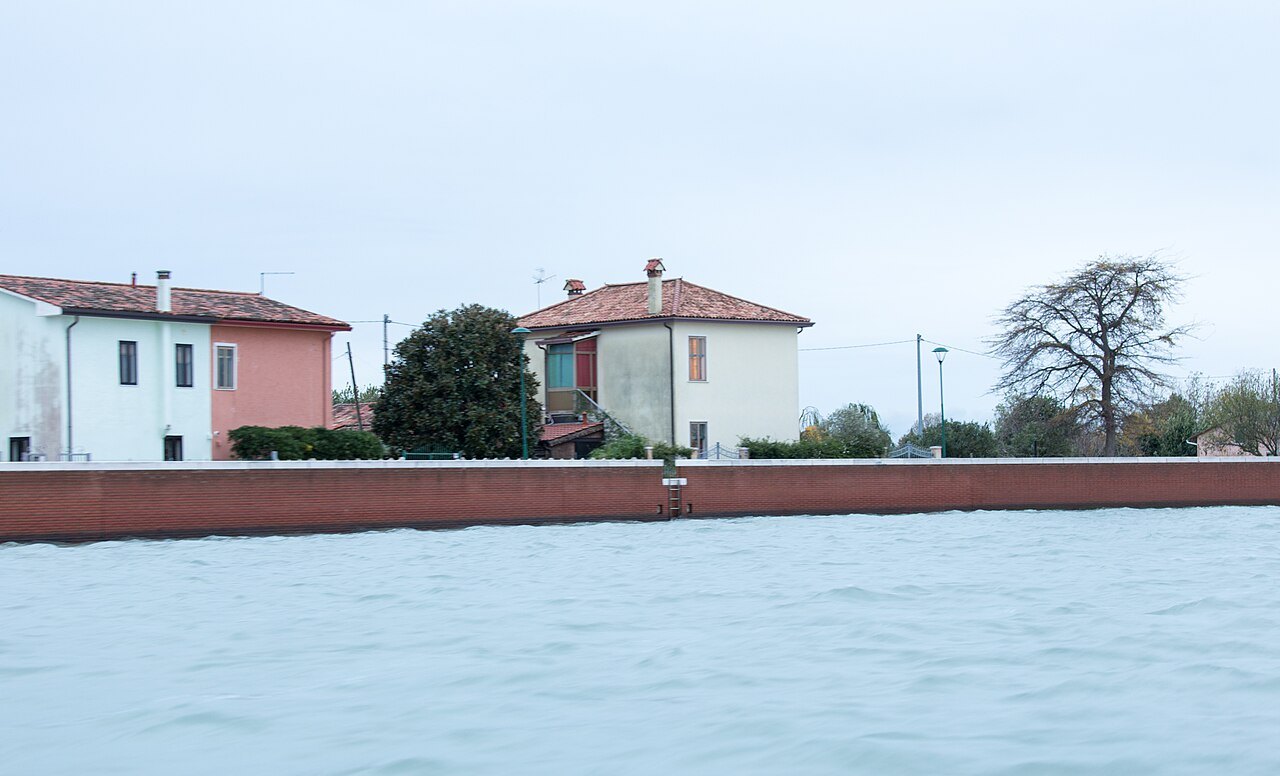
Closer in, across the basin from San Marco, San Giorgio Maggiore is one stop by water bus and has the best view of the city from its bell tower. The Giudecca, across its wide canal from the Zattere, is part of Dorsoduro and belongs to the city rather than the lagoon.
Farther out, toward the Lido, the small island of San Lazzaro degli Armeni has been home to a monastery of the Mekhitarists, an Armenian Catholic congregation, since the Republic gave it to them in 1717. Once a leper colony, it became one of the great centers of Armenian culture and printing, where the first complete dictionary of the Armenian language was produced, and its library holds more than three thousand Armenian manuscripts. Lord Byron came here in 1816 and 1817 to study Armenian.
Going out on the water
Every island mentioned here is on the public water-bus network, and the lagoon lines leave mostly from the landings on the north shore, at Fondamente Nove, and from San Zaccaria near San Marco (see getting around). The boats to the northern islands fill up on busy days; set out early, and check the times of the last boats back before you leave any island.
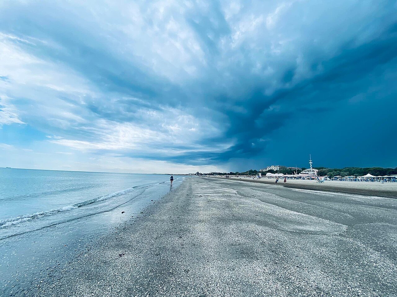
Treat the ride itself as part of the visit. For much of the crossing there is nothing to see but water, marsh, posts and sky, and the city low on the horizon behind you, which is exactly what the lagoon was for the people who fled into it.
Seen on the wayIII
More photographs
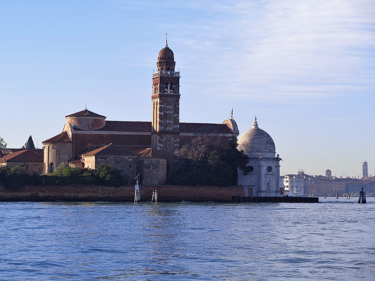
San Michele, the cemetery island, from the waterEffems, Wikimedia Commons, CC BY-SA 4.0 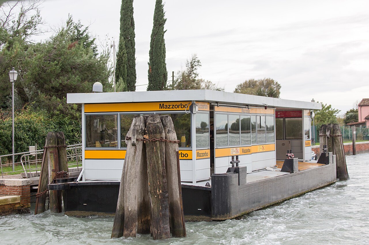
The water-bus pontoon at Mazzorbo among its mooring postsGodeNehler, Wikimedia Commons, CC BY-SA 4.0 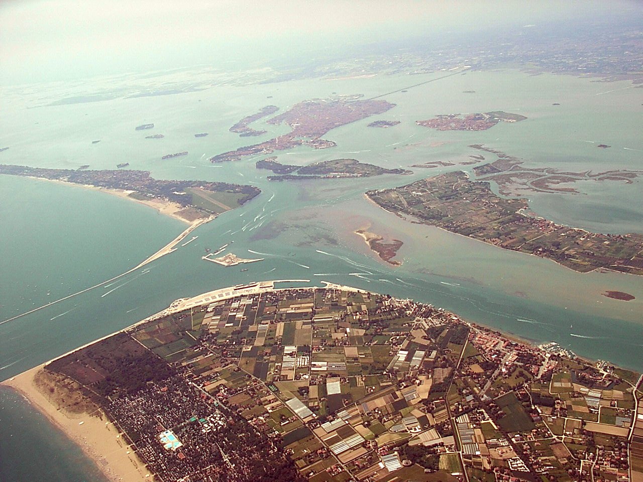
The Lido inlet and the islands of the lagoon from the airUnknown, Wikimedia Commons, CC BY-SA 3.0