WHY A SHORT HOP ON THE MAP CAN BE A LONG WALKI
Only Four Bridges Cross the Grand Canal: Planning Routes
The Grand Canal cuts Venice in two, and only four bridges cross it in nearly four kilometers. Where they are, why a map misleads, and how to plan walks, water-bus rides and traghetto crossings so the canal works for you rather than against you.
The answer in fullII
Read on
The short answer
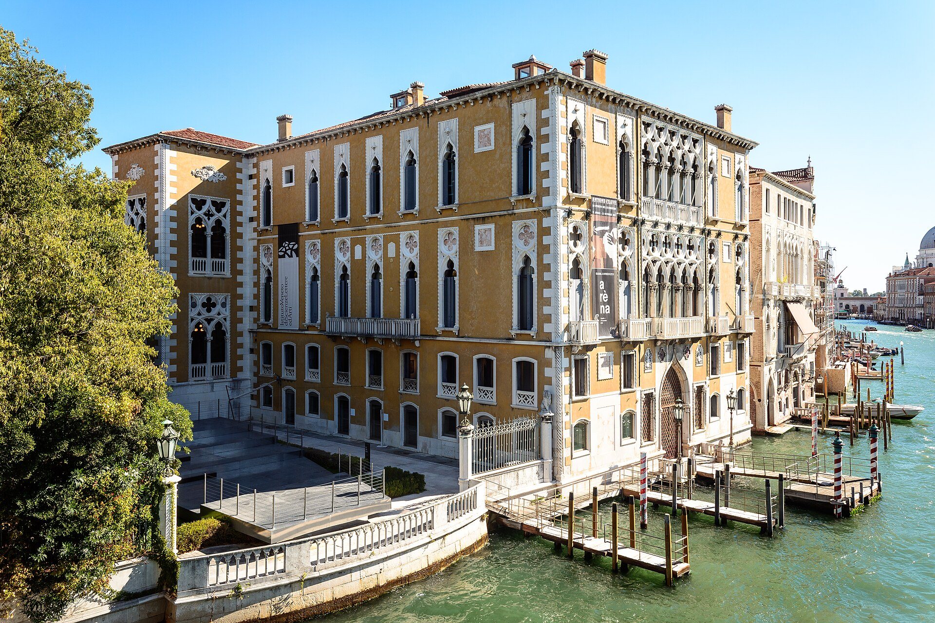
The Grand Canal winds through the middle of Venice in a reverse S nearly four kilometers long and between thirty and ninety meters wide, and it divides the city into two halves: San Marco, Castello and Cannaregio on one side, San Polo, Santa Croce and Dorsoduro on the other. Only four bridges cross it. Everywhere else, the canal is a wall of water.
That shapes every route in the city. Two places facing each other across the canal can be a long walk apart, because the nearest bridge may be far up or down the bank. Before you plan a day, look at where the bridges are, and remember the two other ways across: the water bus and the traghetto.
Some links on this page are affiliate links. If you book through one we may earn a commission, at no extra cost to you. It does not affect what is recommended here, and no sight page on this site carries one.
Somewhere to leave a suitcase between check-out and a late train.
The four bridges
For most of the city's history there was only one. Because most traffic moved along the canal rather than across it, the Rialto was the only crossing until the nineteenth century: a pontoon bridge of 1181, then wooden bridges with shops on them, and finally the stone arch of Antonio da Ponte, completed in 1591, which still stands at the commercial heart of the city (see the Rialto Bridge).
The other three are modern. The Ponte degli Scalzi, near the station, and the Ponte dell'Accademia, linking Dorsoduro with San Marco by the Accademia, were built in the nineteenth and twentieth centuries. The newest, the Ponte della Costituzione, designed by Santiago Calatrava and opened in 2008 amid controversy, joins the railway station to Piazzale Roma.
Where they are, and where they are not
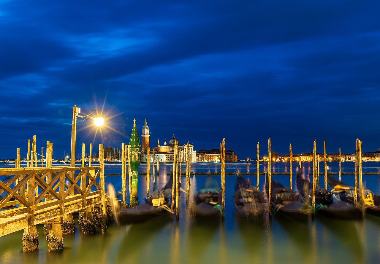
Travel down the canal from the station and the bridges come in an uneven order. The Costituzione and the Scalzi stand close together at the western end, both near the station and Piazzale Roma. Then comes a long stretch of canal, past the Ca' d'Oro and the market, with no bridge until the Rialto, roughly in the middle of the canal's course. After the Rialto the canal swings south through its great bend, the volta de Canal, with no bridge again until the Accademia. From the Accademia to the Punta della Dogana at the canal's mouth there is none at all.
Those long gaps are the whole problem. Near the station, a detour to a bridge costs little. Everywhere else, getting from one bank to the point exactly opposite can mean walking a long way up one side, crossing, and walking all the way back down the other.
Why the map misleads
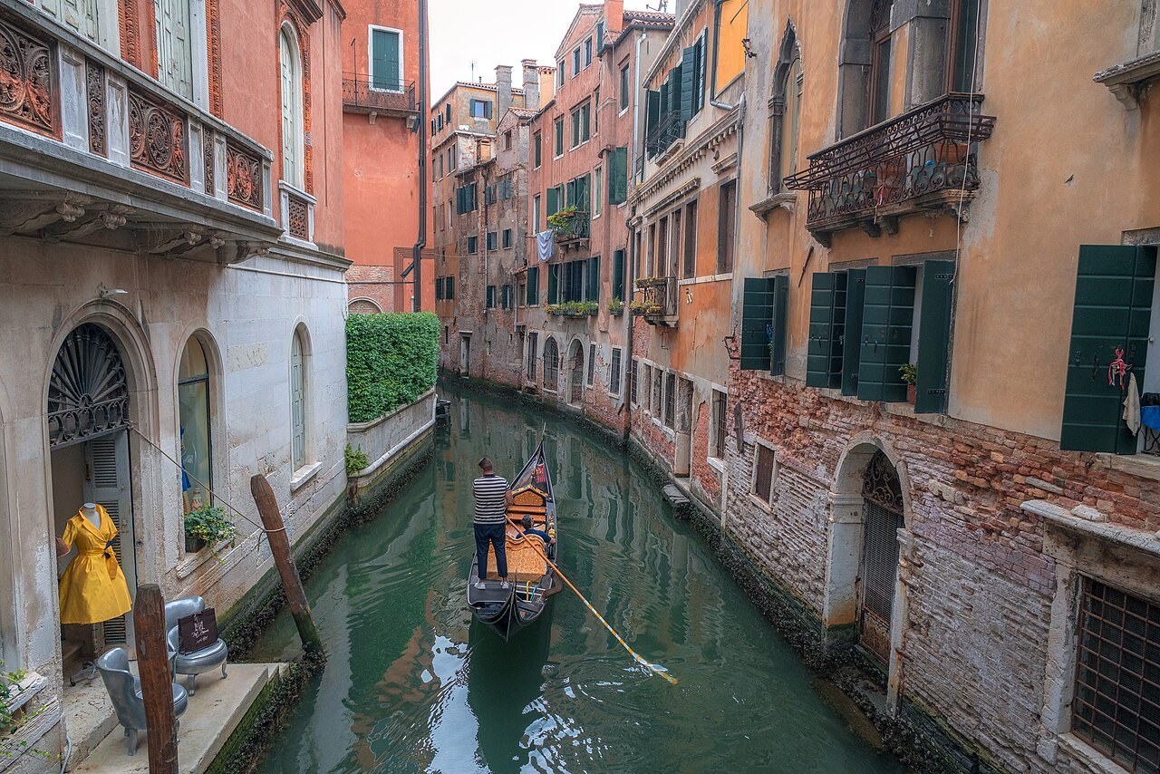
A map of Venice shows two points close together across the water and says nothing about how to join them on foot. The lanes of the city make it worse: they are narrow, rarely straight, often crowded, and cross smaller canals by their own bridges, most of them with steps. A route that looks like a short hop across the canal can turn into a long walk around it.
Two pairs show it well. The Rialto market, on the San Polo bank, faces the Ca' d'Oro in Cannaregio across the water, but the walk between them goes round by the Rialto Bridge. San Tomà in San Polo lies almost opposite the Sant'Angelo side of San Marco, but both the Rialto and the Accademia bridges are a long way off.
So plan by bank. Group the sights you want to see by which side of the canal they are on, and cross as few times as you can in a day (see the sestieri).
When the traghetto wins
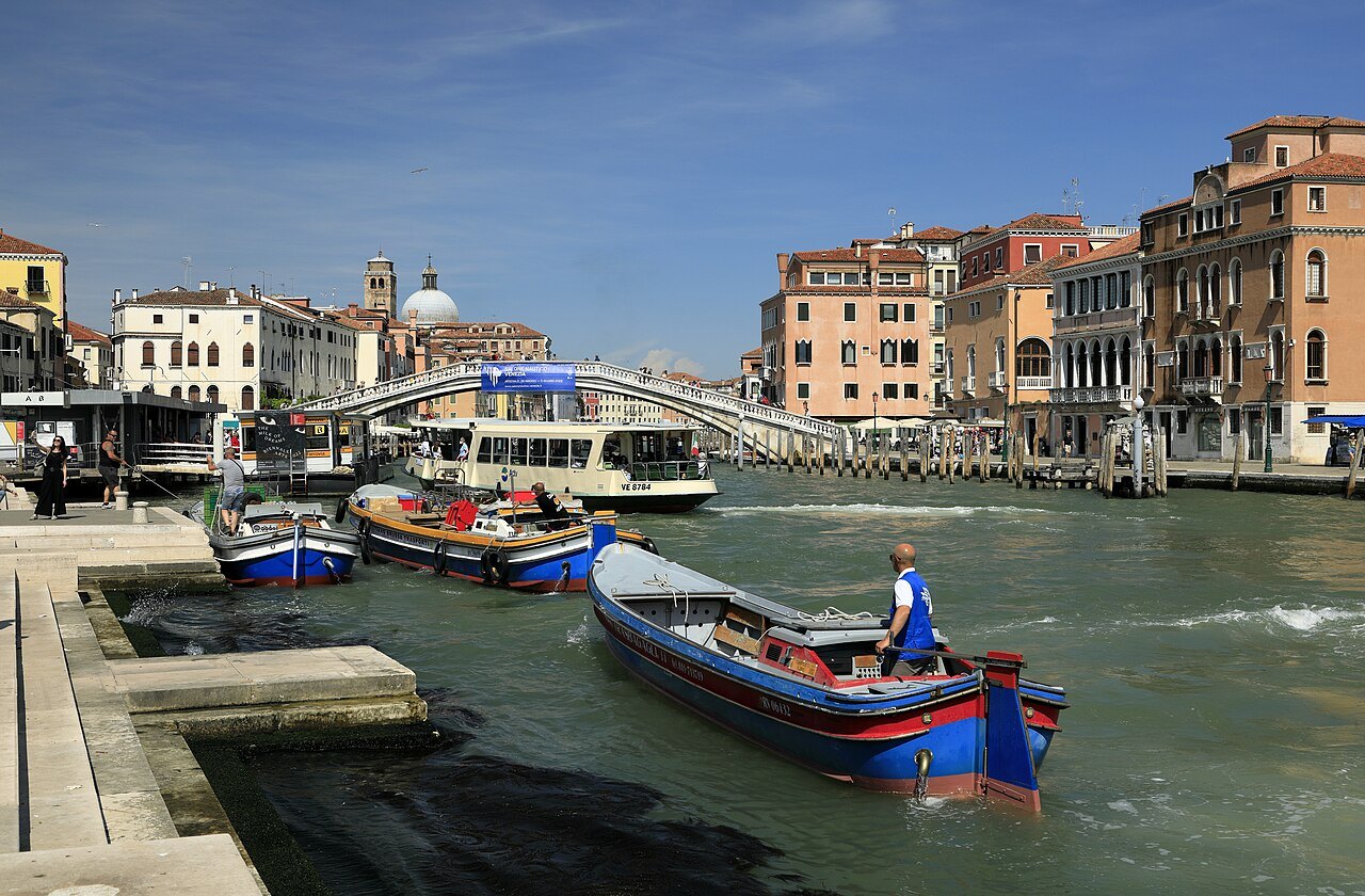
The pairs above are exactly what the traghetto is for. At a handful of fixed points, a gondola rowed by two oarsmen ferries foot passengers straight across the canal in a couple of minutes: at Santa Sofia, between the Ca' d'Oro side and the Rialto market; at San Tomà, between San Polo and the San Marco side; and at Santa Maria del Giglio, toward the Salute. Their hours are unpredictable and some stations close for long periods, so treat them as a shortcut when they are running (see the traghetto).
When the water bus wins
For longer journeys along the canal, the water bus is the answer. Line 1 calls at almost every landing, zigzagging from bank to bank: from Piazzale Roma and the station past San Marcuola, San Stae, the Ca' d'Oro, the Rialto market, the Rialto, San Silvestro, Sant'Angelo, San Tomà, Ca' Rezzonico, San Samuele, the Accademia, Santa Maria del Giglio and the Salute to San Marco. Riding one or two stops can take you across the canal as well as along it, since consecutive landings are often on opposite banks.
Line 2 makes fewer stops and is faster between the station, the Rialto and San Marco. If you are using the boats several times a day, a travel card is usually simpler than single tickets (see the vaporetto).
The bridges that come and go
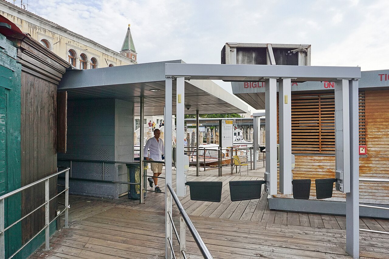
Twice a year the city adds bridges of its own. For the Festa del Redentore, on the third weekend of July, a bridge of boats is laid across the Giudecca Canal from the Zattere to Palladio's church of the Redentore, recalling the procession of the doge after the plague of 1576. For the Festa della Madonna della Salute, on 21 November, a pontoon bridge crosses the Grand Canal from Campo Santa Maria del Giglio to the Salute, and the city walks across it in procession to give thanks for the end of the plague of 1630.
For those days, the map of Venice changes, and routes that are long walks the rest of the year become short ones (see when to come).
Crossing well
The bridges themselves are part of the city, not just ways across. The Rialto, crowded from mid-morning to evening in season, is at its best early and late. The Accademia bridge gives one of the classic views of Venice, straight down the canal to the dome of the Salute. The Scalzi faces the front of the Scalzi church, and the Costituzione looks down the canal toward the city.
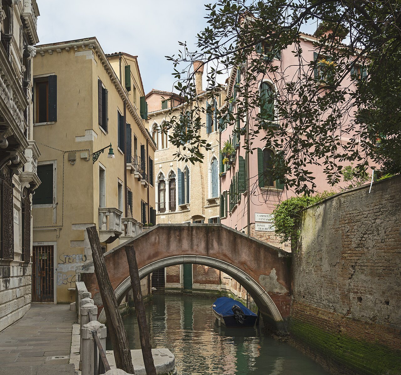
Allow for the steps on every bridge if you are pushing a stroller or pulling a case, and for the crowds on the Rialto. On days of high water, the lowest banks can flood while the bridges stay dry, and routes that cross them may need rethinking (see acqua alta).
Read nextIII
More from the journal
- Getting AroundThe Traghetto: Venice's Cheapest Gondola CrossingOnly four bridges cross the Grand Canal. Between them, a traghetto, a plain gondola rowed by two oarsmen, ferries foot passengers straight across. What it is, where the crossings are, how to ride one, and why it is worth knowing about.Read the piece →
- Getting AroundHow the Vaporetto Works: Tickets, Passes and LinesThe vaporetto is Venice's bus: numbered lines run by ACTV along the Grand Canal, around the city and out to the islands. How single tickets and time-based travel cards work, how to decide between them, how to validate, and which lines a visitor actually uses.Read the piece →
- When to ComeAcqua Alta in Venice: the Tide, the Sirens and the WalkwaysBetween autumn and spring, exceptional tides flood the lowest parts of Venice. What causes the acqua alta, how the levels are measured, what the sirens mean, where the raised walkways go, what the MOSE barriers changed, and how to plan a day around a high tide.Read the piece →