Home · The Sestieri
Six sixthsI
The districts either side of the canal
- San MarcoThe small, dense heart of the city inside the bend of the Grand Canal: the seat of the old government, the great square, La Fenice, grand hotels and expensive shops.St Mark's BasilicaPiazza San MarcoThe Doge's PalaceThe Campanile
- CastelloThe largest sestiere, stretching east to the Arsenale, the Biennale gardens and Sant'Elena, with quieter lanes the farther east you go.Santi Giovanni e PaoloThe Arsenale
- CannaregioThe northernmost and most populous district, from the railway station to the north shore: the Ghetto, the Strada Nuova, long canals and a lived-in, residential calm.The GhettoThe Ca' d'Oro
- San PoloThe smallest and most central, one of the oldest parts of the city: the Rialto market, the Frari and the Scuola Grande di San Rocco.The Rialto MarketThe Rialto BridgeThe FrariScuola Grande di San Rocco
- Santa CroceThe northwestern district, from Piazzale Roma and the port to medieval lanes around San Giacomo dell'Orio and the palaces on the Grand Canal.
- DorsoduroThe southern district on its firmer ground, between the Grand Canal and the Zattere, with the Accademia, the Salute and, across the water, the Giudecca.The AccademiaThe Peggy Guggenheim CollectionSanta Maria della Salute
In fullII
The Sestieri
Six sixths of a city
A sestiere is a sixth. The division of the city into six goes back to its early history, and the sestieri themselves were created in about 1170, grouping parishes that were older still. Three lie on each side of the Grand Canal: San Marco, Castello and Cannaregio on one side, San Polo, Santa Croce and Dorsoduro on the other. Under the Republic each sestiere elected one of the six ducal councillors who sat with the doge, and officials called capisestiere watched over its residents and reported on them to the government.
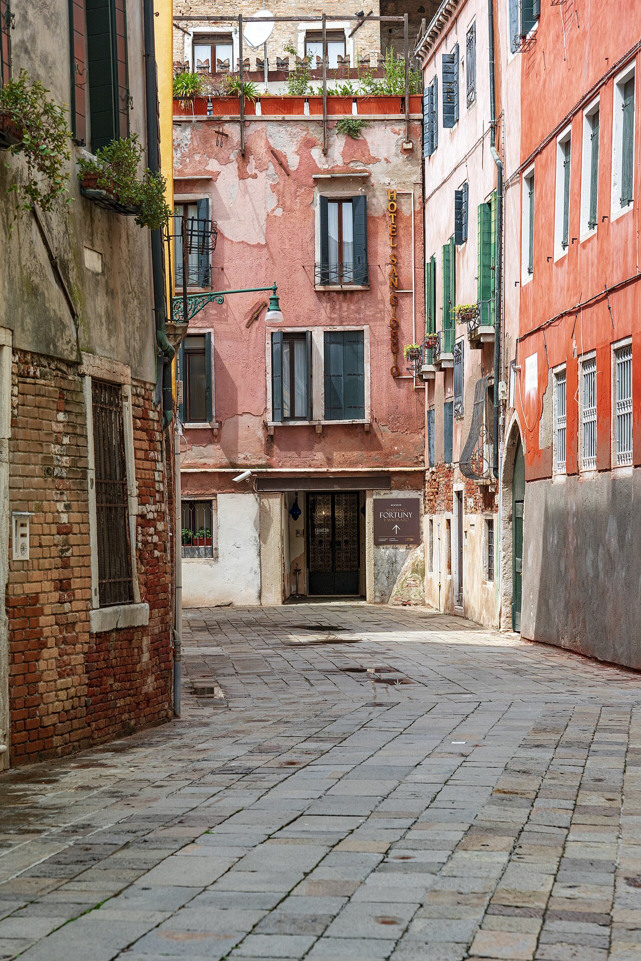
Today a sestiere has no government of its own; it is a historic and statistical area. But the division still shapes daily life, and the most practical reason for a visitor to know it is the address. Each sestiere numbers its buildings on its own system, running into the thousands, so that an address is a sestiere name and a number; Castello's numbers reach almost seven thousand. Two doors a few steps apart can carry numbers hundreds apart. Knowing the district, and the name of the nearest campo, is how you find a door.
Parishes before districts
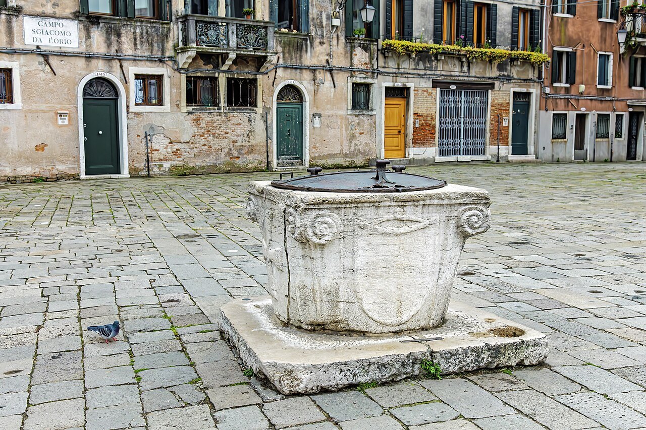
Before the sestieri there were the parishes, some seventy of them in 1033, reduced under Napoleon to thirty-eight. Each was a small world of its own, with its own patron saint, its own festivals, its own market, its own bell tower and its own customs, and each gathered round its campo, the open square where a wellhead drew rainwater collected under the paving. That is why Venice is a city of many small centers rather than one: walk a few minutes in any direction and you arrive in another campo with its church, its well and its bar.
Not everything belongs to a sestiere. The Giudecca counts as part of Dorsoduro, San Giorgio Maggiore as part of San Marco and the cemetery island of San Michele as part of Castello, but the other islands of the lagoon, Murano, Burano, Torcello and the Lido among them, historically ran their own affairs and are not in any sestiere at all (see the lagoon). Burano and Pellestrina even have sestieri of their own.
A modern legend holds that the six forward-pointing teeth on the iron prow of a gondola stand for the six sestieri, with the one pointing backward for the Giudecca. It is a pleasant story, but there is no documentary evidence for it, and old paintings show gondolas with four or five teeth.
San Marco and Castello
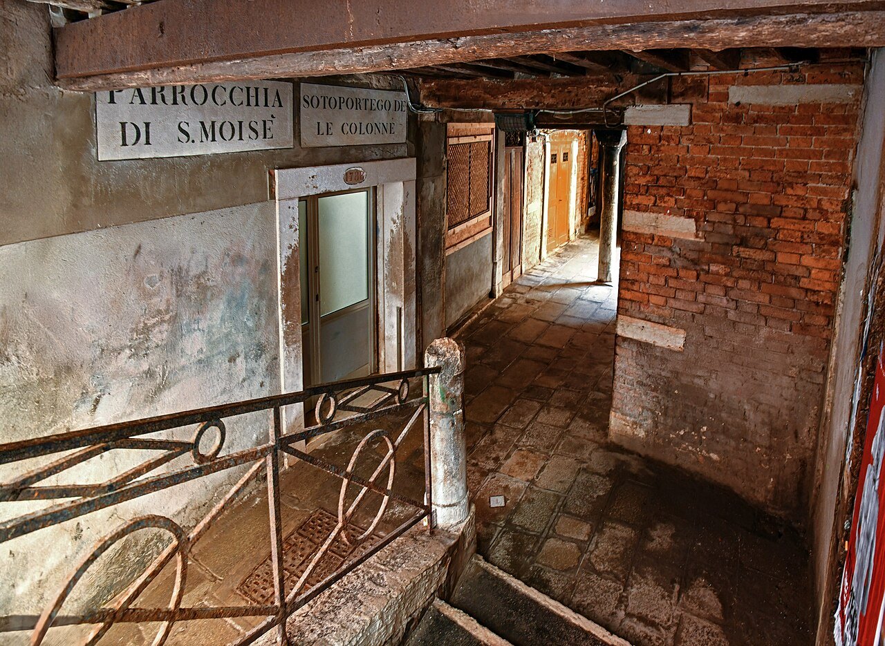
San Marco is a small district and the most heavily visited. It lies inside the great bend of the Grand Canal and contains the basilica, the Doge's Palace and the square, though the square itself was never administered as part of the sestiere. It was the seat of the Republic's government, and it is densely built, full of hotels, banks and expensive shops, with the churches of Santo Stefano and San Moisè and the opera house of La Fenice.
Castello, named after a fortress on the island of San Pietro di Castello that has long disappeared, is the largest sestiere. From the thirteenth century it grew around the Arsenale, the Republic's naval dockyard and once the largest in Europe (see the Arsenale). A Greek community of several thousand lived here in the Renaissance, with its church of San Giorgio dei Greci. Napoleon laid out gardens at its eastern end that now hold the Biennale, and the island of Sant'Elena was added later. It includes Santi Giovanni e Paolo, San Zaccaria and Santa Maria Formosa, and the farther east you walk the quieter it becomes.
Cannaregio
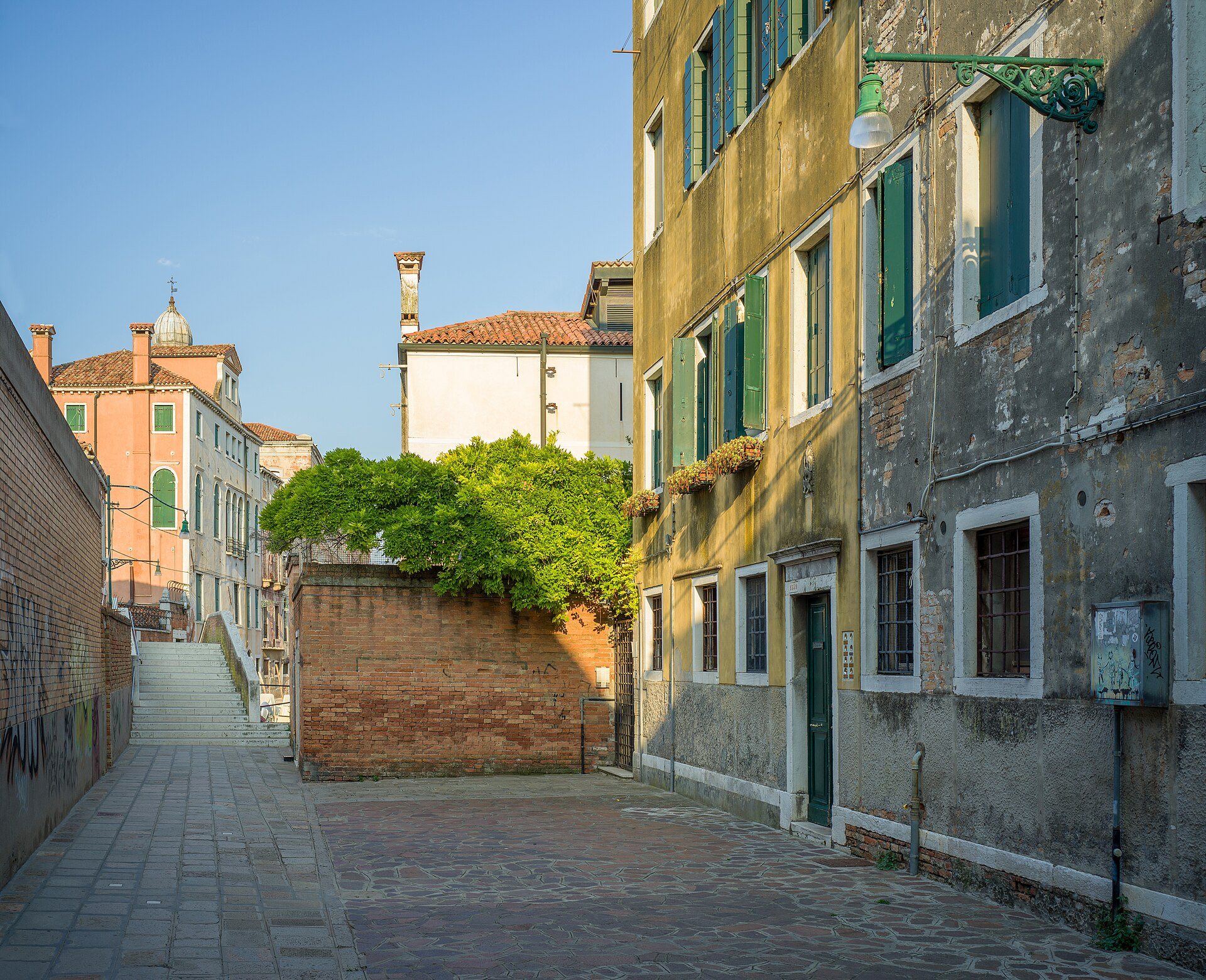
Cannaregio is the northernmost sestiere, the second largest by area and the largest by population. Its name is explained either as the Canal Regio, the royal canal that was the main route into the city before the railway, or as a place of reeds, the canneti of the marsh it was drained from. Development began in the eleventh century, as the marsh was drained and parallel canals were dug, and although palaces were built facing the Grand Canal, the district grew mostly with working people's housing and workshops.
It is where the Ghetto was instituted in 1516, and where the railway station stands. In the nineteenth century the Strada Nuova was cut through it, and the route from the station to the Rialto is now one of the busiest walks in the city. Step off it, north toward the long parallel canals of the north shore, and Cannaregio becomes residential and calm, with morning markets, neighborhood shops and small bars.
San Polo and Santa Croce
San Polo is the smallest and most central sestiere, covering about thirty-five hectares along the Grand Canal, and one of the oldest parts of Venice, settled before the ninth century as part of the Rialto islands. The city's main market has been here since 1097, and the Rialto Bridge has joined it to the other bank since the thirteenth century. Its eastern part, often simply called the Rialto, is a place of palaces and small houses; its western part is known for its churches, among them the Frari and San Rocco, and for the wide Campo San Polo.
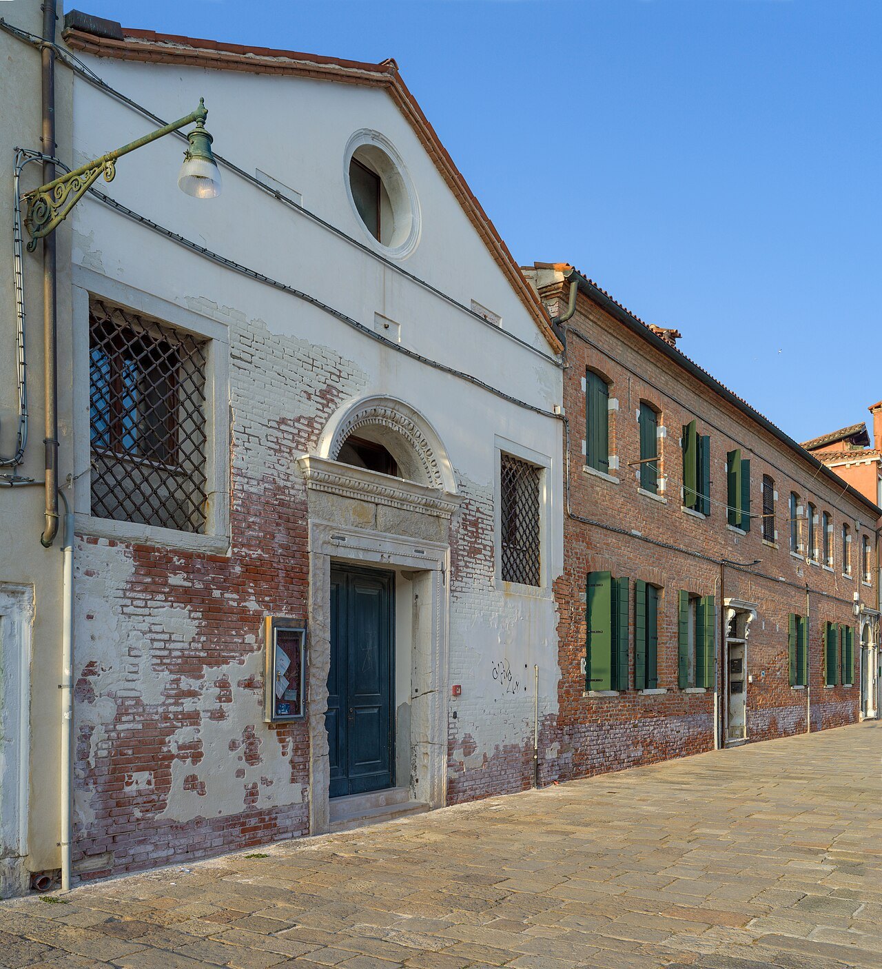
Santa Croce, named after a demolished church of the Holy Cross, occupies the northwest of the main islands. Its western part, with Piazzale Roma, the port and Tronchetto, stands mostly on land reclaimed in the twentieth century, and it is the only area of the city where cars can go. Its eastern part is medieval, with the church of San Giacomo dell'Orio, the Fondaco dei Turchi and the costume museum of Palazzo Mocenigo. Few visitors linger in it, which is its charm.
Dorsoduro and the Giudecca
Dorsoduro, the hard back, takes its name from its firmer ground, a ridge of compact sand among the marshes. It stretches from the Grand Canal to the Giudecca Canal, with the Zattere, a long waterfront promenade facing south across to the Giudecca, and the Punta della Dogana at its eastern tip. Its heart was first along the Giudecca Canal, where building began in the sixth century. In the nineteenth century the Accademia was installed here and the Accademia bridge linked it to San Marco, and it became a favorite of foreign residents.
The Giudecca, across its wide canal, is part of Dorsoduro. Once an island of palaces with gardens, then of shipyards, factories and a great flour mill, it is now mostly residential, with Palladio's church of the Redentore. It is a good place to see the city from outside (see where to stay).
Using the sestieri
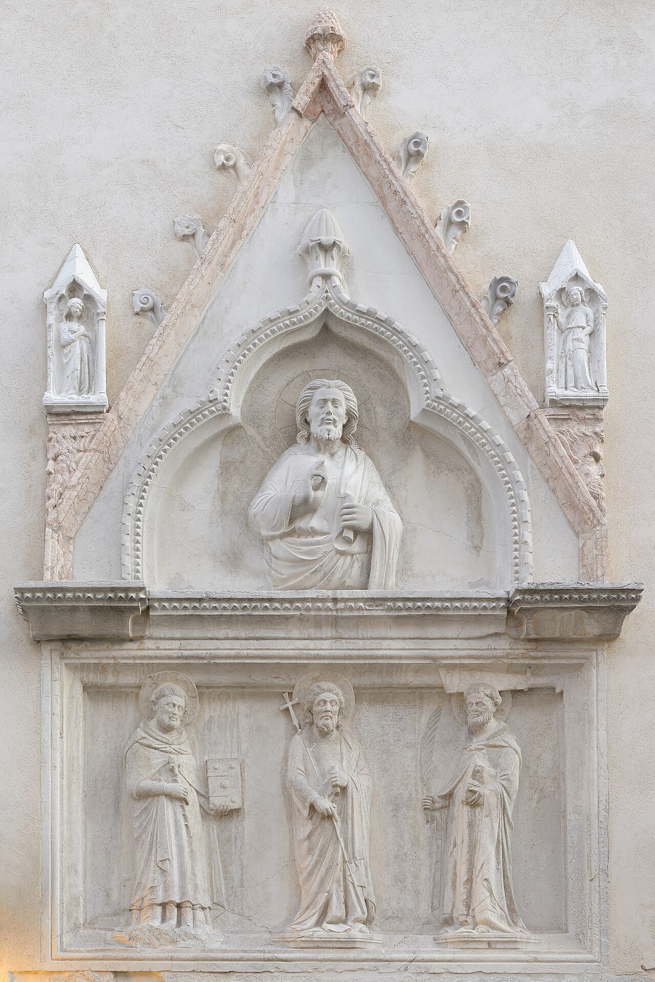
Plan your days by district. The sights cluster, and a day spent in one or two neighboring sestieri is spent looking rather than walking back and forth: San Polo and Santa Croce together, San Marco and Castello, Dorsoduro and the Giudecca, Cannaregio on its own (see itineraries and the sights). And when you are lost, ask not for a street but for the sestiere and the campo; that is how Venetians give directions.
Seen on the wayIII
More photographs
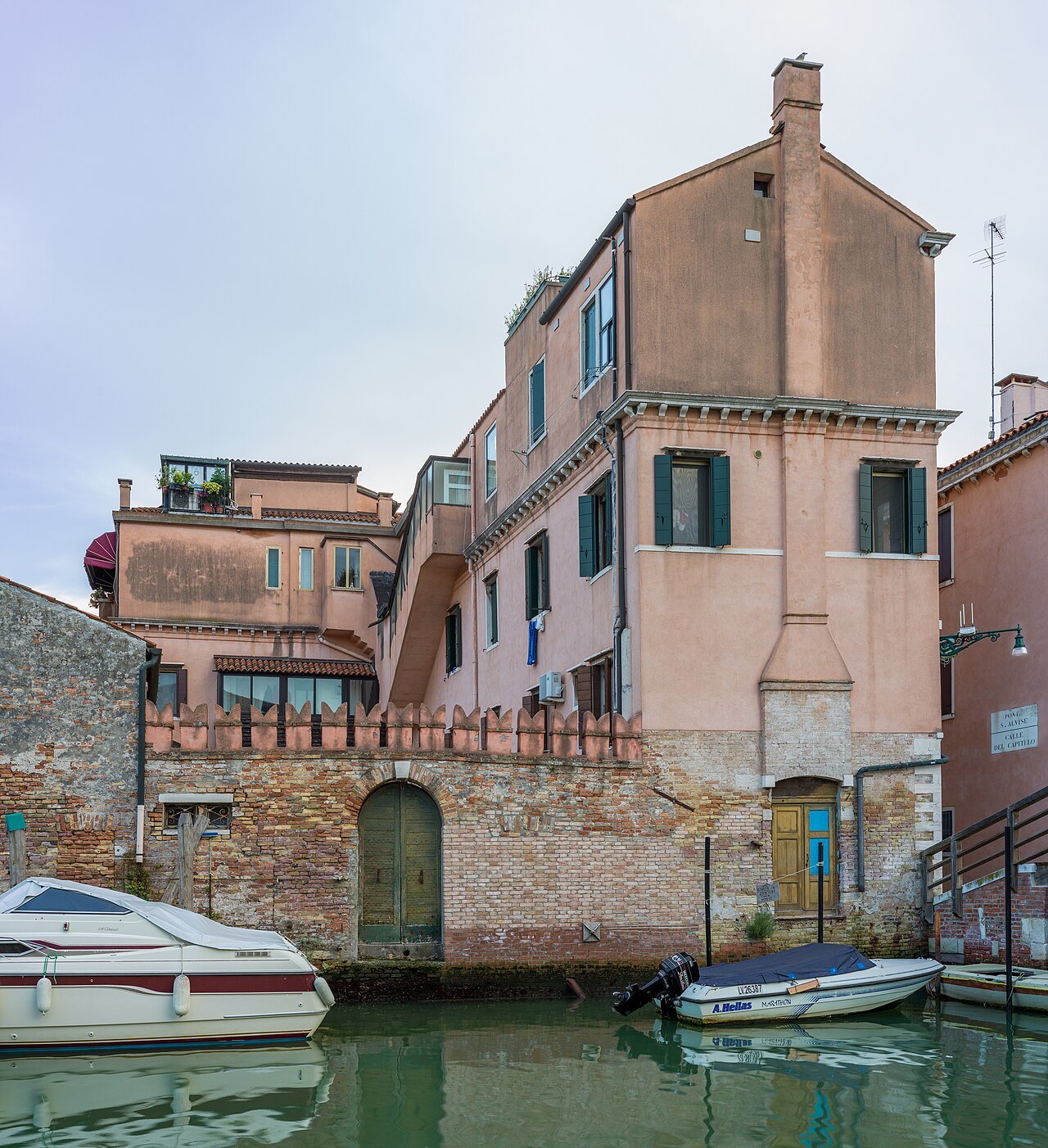
A pink house above the Rio di Sant'Alvise in CannaregioWolfgang Moroder, Wikimedia Commons, CC BY-SA 3.0 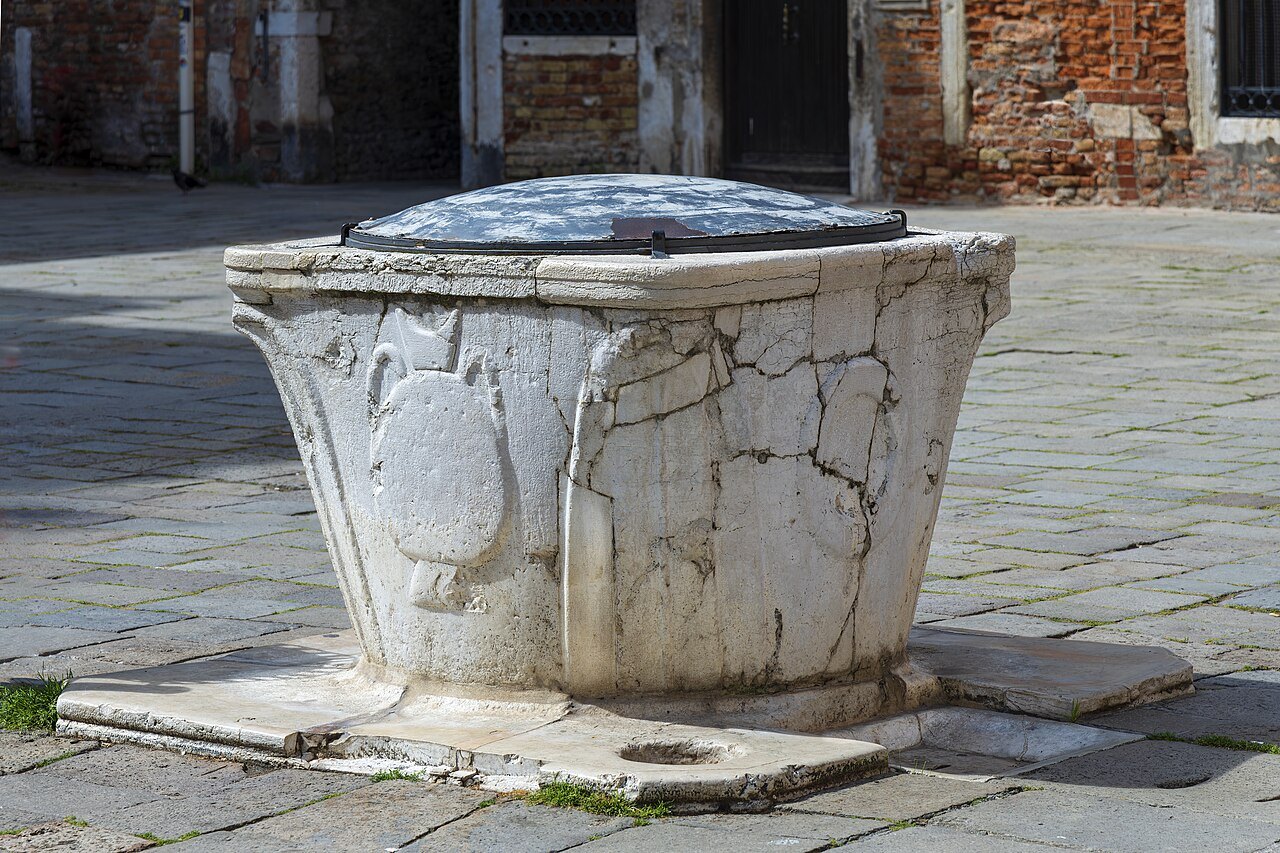
A worn stone wellhead in Campo San SilvestroDidier Descouens, Wikimedia Commons, CC BY-SA 4.0 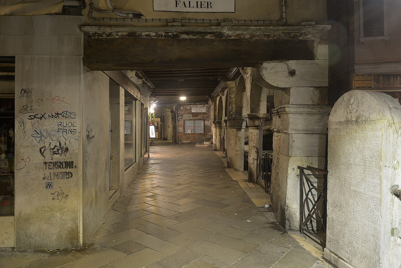
The Sotoportego Falier, a covered passage by the Rio dei Santi ApostoliWolfgang Moroder, Wikimedia Commons, CC BY-SA 3.0